
Relocating to Westside Portland: What You Need to Know in 2026
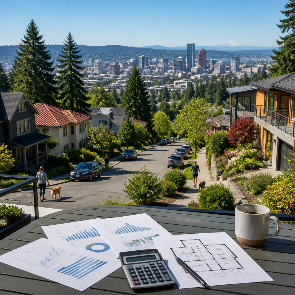
Relocation to Westside Portland in 2026 appeals to residents seeking greenery, established neighborhoods, and quick access to downtown. According to Travel Portland, the city averages roughly 36 inches of rain per year, far less than many expect from the Pacific Northwest. Westside areas such as the West Hills, Northwest District, and Cedar Mill combine wooded hillsides with busy commercial streets like West Burnside Street and Northwest 23rd Avenue, creating a mix of quiet residential pockets and lively urban corridors attractive to different lifestyles.
How Do Westside Portland Neighborhoods Differ Across the Hills and Valleys?
The phrase relocation to Westside Portland often begins with a comparison between the historic West Hills and flatter areas around Beaverton and Raleigh Hills. The West Hills above Skyline Boulevard and SW Patton Road feature larger lots, curving streets, and territorial views over downtown Portland and the Willamette River. According to neighborhood profiles from Redfin, many homes here sell in the range of $900,000 to $2.4M, reflecting limited inventory and strong demand for close-in hillside properties.
By contrast, neighborhoods such as Cedar Mill and West Slope offer more conventional suburban blocks with sidewalks, cul-de-sacs, and mid-century ranch homes. These areas cluster around key arteries like NW Cornell Road, NW Barnes Road, and SW Canyon Road, providing easier driving access to U.S. Route 26 and Oregon 217. Based on 2025 data from Redfin, many three-bedroom homes in these communities close between $650,000 and $900,000, often with larger yards than comparable inner-city properties.
On late summer evenings along Northwest 23rd Avenue in the Alphabet District, the scent of espresso from Barista mingles with grilled aromas drifting from restaurants near Salt & Straw. Streetlights reflect off storefront windows at New Seasons Market, while footsteps echo on the brick sidewalk outside Cinema 21. Passing cars create a gentle hum along NW Thurman Street, yet side streets toward Wallace Park grow noticeably quieter, with only the rustle of leaves from mature maples and faint voices from porch gatherings.
Farther south, areas near Hillsdale and Multnomah Village deliver a small-town main-street feel within Portland city limits. SW Capitol Highway and SW Vermont Street anchor cafes, bookstores, and pubs, with residential streets stepping uphill toward Council Crest Park and down toward Gabriel Park. According to neighborhood guides from Travel Portland, these southwest pockets attract residents seeking older homes, modest lot sizes, and strong access to parks and trails while remaining within about 10 to 15 minutes’ drive of downtown in typical traffic.
What Housing Options and Costs Define Relocation to Westside Portland?
Housing variety plays a central role in relocation to Westside Portland decisions. Close to downtown, the Goose Hollow and Northwest District areas mix historic apartment buildings, newer mid-rise condos, and older single-family homes on narrow streets such as SW Columbia Street and NW Johnson Street. According to 2025 listing data from Zillow, one-bedroom condos in these districts frequently list between $320,000 and $450,000, while townhomes and small detached homes often stretch from roughly $600,000 to just over $900,000.
Suburban-style communities west of SW Scholls Ferry Road and near Washington Square Mall include more recent construction, larger garages, and planned developments. Based on market summaries from Realtor.com, many four-bedroom homes in these westside suburbs range between about $700,000 and $1.1M as of late 2025, depending on age, updates, and school boundaries. Rental availability also differs, with larger apartment complexes clustering around Cedar Hills Crossing, the Beaverton Transit Center, and SW Murray Boulevard.
In the West Hills above SW Fairmount Boulevard, morning fog settles into Forest Park, leaving a damp, earthy scent along SW Talbot Road as residents step outside. Raindrops patter on dense fir branches while the distant clang of the Portland Streetcar drifts up from SW Jefferson Street. On clear days, sunlight filters through tall cedars, spotlighting mossy stone walls and narrow stairways that connect hidden lanes, giving the hillside an almost secret-garden feeling despite being only a short drive from Providence Park downtown.
Condos and apartments near OHSU on Marquam Hill, along SW Terwilliger Boulevard, cater to medical professionals who value short commutes more than large yards. According to rental estimates from Apartments.com, one-bedroom units in these medical-adjacent buildings typically advertise monthly rents between $1,700 and $2,300 heading into 2026, reflecting both location and limited parking. Prospective residents often compare these figures against options in Hillsdale, Raleigh Hills, and Cedar Mill, where parking is easier but commute times can lengthen.
How Convenient Is Transportation and Commuting on Portland’s Westside?
Transportation planning strongly shapes relocation to Westside Portland choices, particularly for residents working downtown or in the Silicon Forest. The MAX Blue and Red lines run along U.S. Route 26, connecting Goose Hollow, the Oregon Zoo station, Sunset Transit Center, and Beaverton Central. According to schedule data from TriMet, peak-hour trains typically operate every 5 to 10 minutes, making park-and-ride lots near Sunset Transit Center and Beaverton Creek Station strategic options for commuters avoiding highway congestion.
Walkability varies significantly between neighborhoods. The Northwest District around NW 21st Avenue and NW 23rd Avenue records a Walk Score of about 95, based on metrics from Walk Score, indicating a highly walkable environment with grocery stores, restaurants, and transit within a short distance. In contrast, hillside streets off SW Skyline Boulevard and SW Barnes Road often require driving for errands, though many households still rely on TriMet buses connecting to MAX stations at Sunset Transit Center and Washington Park.
Driving patterns also influence relocation to Westside Portland decisions. According to 2024 American Community Survey estimates summarized by the U.S. Census Bureau, Portland’s mean travel time to work hovers near 26 minutes, although actual westside commutes vary widely. Morning traffic along U.S. Route 26 and Oregon 217 can be heavy, particularly near the Vista Ridge Tunnel and the Barnes Road interchange, while surface alternatives like SW Canyon Road and SW Beaverton-Hillsdale Highway offer slower but sometimes more predictable routes.
Active transportation continues to expand on the westside. The Fanno Creek Trail links segments of Tigard, Beaverton, and Garden Home, creating a multi-mile corridor for cycling and jogging. The Terwilliger Parkway path above SW Terwilliger Boulevard offers a separated route with city views connecting OHSU, Duniway Park, and South Waterfront. Data from Portland Bureau of Transportation shows ongoing investments in bike lanes and pedestrian crossings, particularly along SW Capitol Highway and SW Multnomah Boulevard, improving non-car options across several southwest neighborhoods.
What Schools and Educational Resources Stand Out on Portland’s Westside?
Families weighing relocation to Westside Portland often focus first on school boundaries. In downtown-adjacent areas, Lincoln High School on SW 18th Avenue serves much of the inner westside. According to GreatSchools, Lincoln receives an overall rating of 9 out of 10, supported by strong college readiness and test score indicators. West Sylvan Middle School and Ainsworth Elementary also score well, encouraging many households to prioritize addresses around SW Montgomery Drive, SW Vista Avenue, and NW Westover Road.
Farther out, the Beaverton School District includes recognized campuses such as Sunset High School near NW Cornell Road and Westview High School close to NW 185th Avenue. GreatSchools reports that several of these schools earn ratings between 7 and 9 out of 10, providing strong academic options for students across Cedar Mill, Bethany, and Oak Hills. Private institutions add further depth, with Oregon Episcopal School off Nicol Road and Jesuit High School near SW Beaverton-Hillsdale Highway drawing students from across the metro.
Educational opportunities extend beyond K–12 campuses. The Oregon Zoo in Washington Park, the World Forestry Center Discovery Museum, and the Oregon Museum of Science and Industry across the river all deliver structured programs, camps, and exhibits. According to visitation figures from Oregon Zoo, annual attendance typically reaches well over 1 million guests, many from westside neighborhoods who take MAX directly to the Washington Park station. This concentration of institutions supports project-based learning, field trips, and enrichment activities throughout the academic year.
Higher education also shapes westside life. Portland State University’s downtown campus anchors the south end of the city center, easily accessed from Goose Hollow via MAX or the Portland Streetcar. OHSU’s campus on Marquam Hill supports extensive medical and research employment, while Portland Community College’s Sylvania Campus near SW 49th Avenue offers technical and transfer programs. Collectively, these institutions broaden the appeal of relocation to Westside Portland for households valuing short commutes to colleges, nursing programs, and graduate schools.
How Do Parks, Climate, and Daily Life Feel Across Westside Portland?
Parks and natural areas distinguish relocation to Westside Portland from many other urban moves. Forest Park, stretching along NW St. Helens Road and up into the Tualatin Mountains, spans over 5,200 acres according to Portland Parks & Recreation, making it one of the largest urban forest reserves in the country. Extensive trailheads off NW Thurman Street, NW Germantown Road, and NW Skyline Boulevard create convenient access points for residents of the Northwest District, Linnton, and the West Hills.
Closer to downtown, Washington Park holds the International Rose Test Garden, Portland Japanese Garden, and Hoyt Arboretum within a compact area. Data from Travel Portland notes that the park covers more than 400 acres and sits roughly 2 miles west of Pioneer Courthouse Square. Nearby Council Crest Park and Marquam Nature Park connect via the 4T Trail, combining tram, trail, trolley, and train to showcase wooded ravines, skyline viewpoints, and urban transit options in a single loop experience.
Daily life on the westside reflects Portland’s moderate climate. According to Travel Portland, average summer highs hover around 80 degrees Fahrenheit, while winter highs often stay near 45 degrees. That temperate range supports outdoor coffee seating along NW 21st Avenue for much of the year and frequent jogging loops around the gravel track at Duniway Park. Rainy stretches create lush vegetation along SW Terwilliger Boulevard and in smaller green spaces like Tanner Springs Park in the Pearl District just across I-405.
Everyday amenities further shape the texture of westside living. Grocery trips might include Zupan’s Market on West Burnside Street, the Safeway at Cedar Hills Crossing, or specialty items from Elephant’s Delicatessen on NW 22nd Avenue. Restaurants around NW Lovejoy Street, Slabtown, and Multnomah Village offer everything from food carts to white-tablecloth dining. According to tourism research from Travel Portland, the metro hosts more than 700 food carts and hundreds of brick-and-mortar eateries, many clustered along westside corridors that remain active late into the evening.
The 36-inch rainfall figure cited at the start of this guide reflects a climate that keeps Westside Portland’s hillsides green while still delivering many clear days. That number from the opening underscores how relocation to Westside Portland typically involves more overcast skies than severe weather extremes. The Regional Multiple Listing Service (RMLS) market statistics provide detailed tracking of westside inventory levels, price ranges, and days on market for households studying timing. Buyers who register search alerts through RMLS-linked platforms before the spring listing surge and schedule tours within 48 hours of new westside listings appearing in March or April consistently secure stronger negotiating positions than those who delay and enter after early summer competition intensifies.
FROM OUR BLOG

Maximize Your Investment: 1031 Exchange Properties in Portland
Maximize Your Investment: 1031 Exchange Properties in Portland Investors targeting 1031 exchange properties in Portland often focus on stable rent growth, diverse neighborhoods, and strong tenant demand. According to Redfin, median Portland home values have generally ranged between $450,000 and $550

The Ultimate Guide to Downsizing in Beaverton: Tips for a Smooth Transition
The Ultimate Guide to Downsizing in Beaverton: Tips for a Smooth Transition Downsizing in Beaverton appeals to many homeowners seeking simpler living, stronger walkability, and access to services without sacrificing comfort. According to U.S. Census QuickFacts, Beaverton’s population is just over 97
WORK WITH US
Reach out to an expert real estate agent today. Dive into the world of luxury real estate with guidance from our devoted team. Your dream home is within reach.
MLS/IDX INTEGRATION
Reach out to an expert real estate agent today. Dive into the world of luxury real estate with guidance from our devoted team. Your dream home is within reach.
TOP NOTCH SUPPORT
Reach out to an expert real estate agent today. Dive into the world of luxury real estate with guidance from our devoted team. Your dream home is within reach.